White River
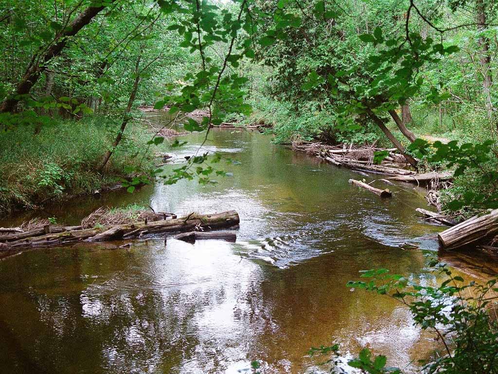
The White River rises from the extensive Oxford Swamp in north central Newaygo County and flows in a southwesterly direction into White Lake, then to Lake Michigan. The White River system drains a surface area of approximately 300,000 acres and includes about 253 linear miles of streams. The total length of the river from the headwater to Lake Michigan is 89.8 miles.
The White River is a tighter and swifter flowing than the Muskegon River. The higher you go on the river the tighter and more challenging it becomes. There are also various river obstacles along the way, so we recommend that only more experienced paddlers choose to this river.
The White River is also a popular spot for fly fishing for salmon, steelhead and trout. Spring steelhead and fall salmon bring anglers to the water below the Hesperia Dam because it is a rather small and wading friendly river system.
River Details
Distance: 89.8 miles
Challenge Level: Moderate to Advanced Paddling
Activities: Fishing, Paddling, Swimming

2022 White River Adventure
Interactive White River Map
Select a segment to learn more about float times between access pointsTo open this in a new window or your own maps app, click here